Category: 3D map
-
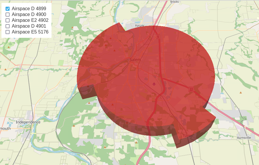
Calculating a NW Segment of Salem’s Class D Air Space
<p class="wp-block-paragraph">I’m still working on the matter of the low flying Learjet over Salem, and in that matter, I have determined the jet first flew parallel to the FAA’s Class D airspace as much as it could before entering it.</p> <p class="wp-block-paragraph">So then I wondered, why and what distance is involved. So here is a…
-
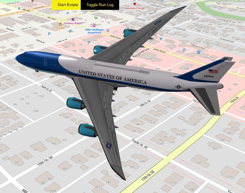
Air Force One Buzzes Peck Cottage
<p class="wp-block-paragraph">I have created a 3 dimensional model that depicts Air Force One (231′ long) buzzing Peck Cottage in a 1/2 mile radius going from an altitude of 100 to 500 and back to 100.</p> <p class="wp-block-paragraph">To accomplish this, I am using a vector tile server I built using the MapLibre <a href="https://martin.maplibre.org/">martin project </a>and…